
File:Map of NATO chronological.gif
Size of this preview: 640 × 244 pixels.
| |
This is a file from the Wikimedia Commons. Information from its description page there is shown below.
Commons is a freely licensed media file repository. You can help. |
| Description |
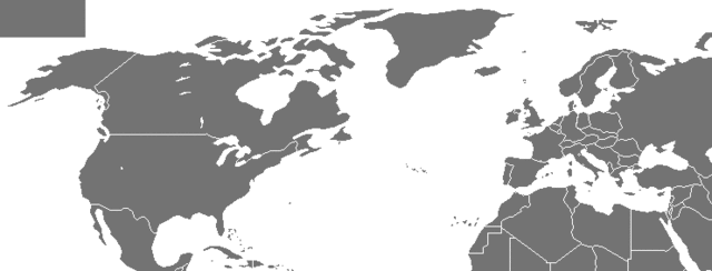
English: An animated map of the expansion of the intergovernmental military alliance NATO from its founding to 2009
|
| Date | 2 May 2007 |
| Source | based on Image:Map of NATO countries.png |
| Author | Arz |
Licensing
 |
Permission is granted to copy, distribute and/or modify this document under the terms of the GNU Free Documentation License, Version 1.2 or any later version published by the Free Software Foundation; with no Invariant Sections, no Front-Cover Texts, and no Back-Cover Texts. A copy of the license is included in the section entitled GNU Free Documentation License.
|
| This file is licensed under the Creative Commons Attribution-Share Alike 3.0 Unported license. | ||
|
||
| This licensing tag was added to this file as part of the GFDL licensing update.
|
File usage
The following pages on Schools Wikipedia link to this image (list may be incomplete):
Find out more
Wikipedia for Schools was collected by SOS Children's Villages. SOS Childrens Villages works in 133 countries and territories across the globe, helps more than 62,000 children, and reaches over 2 million people in total. Have you thought about sponsoring a child?